

|
Large wildfires generally travel along a trajectories set by the local wind direction. For example, persistent southeast winds during May 2023 in Alberta resulted in multiple large fires with the exact same elliptical shape oriented from the southeast to the northwest.
There can be a complex mix of different cover types with different sizes and shapes distributed across an area. In Alberta’s fire-prone ecosystems, conifer fuels like white spruce, black spruce, and lodgepole pine pose the greatest threat to the built environment. That's because they support high intensity fires and generate abundant ember showers that can rain down on nearby structures. Exposure of structures to these potential ignition sources can be easily measured (i.e., Beverly et al. 2010) and patterns of exposure across landscapes can be mapped using these same methods (Beverly et al. 2021).
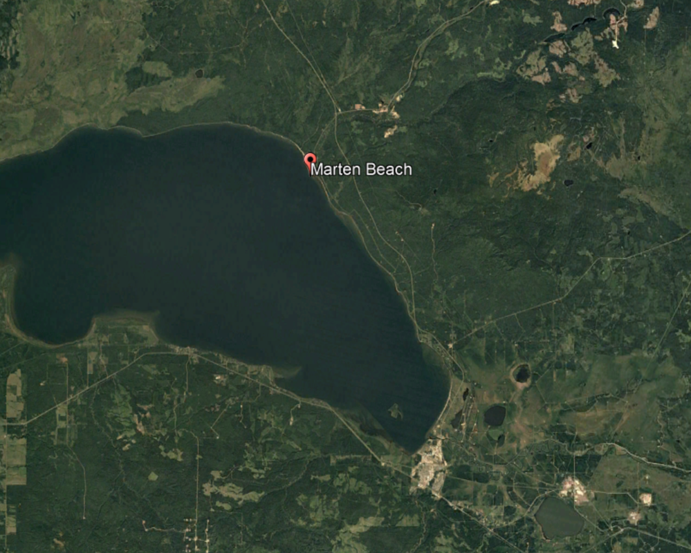
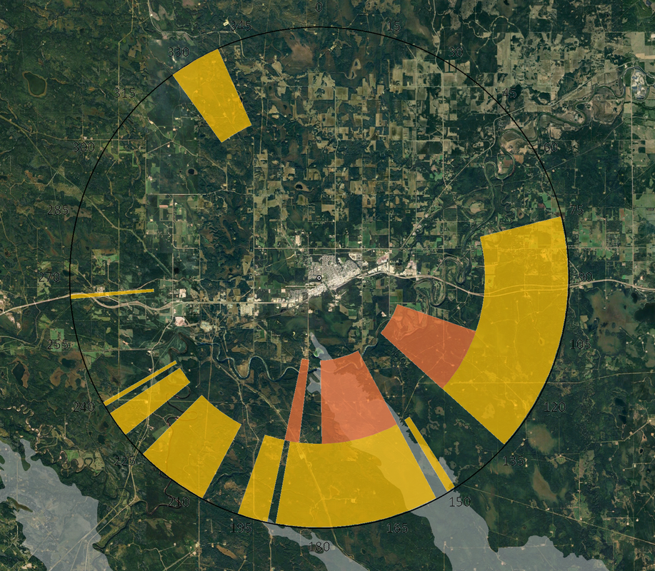
In this study, we took the landscape exposure patterns mapped by Beverly et al. (2021) for Alberta, and developed a standard way to describe the directional pattern of high exposure areas in relation to a locale of interest. The results are easy to interpret and show the potential for fire encroachment for all possible directions around a community. Below you can see the directinoal vulnerabilities we mapped for two communities in Alberta: Rainbow Lake (left) and Edson (right). In the case of Edson, you can see that when a fire burned towards the community from the southeast in June 2023 (shown in gray shading), it approached the community along one of the viable pathways we had mapped.
|


© 2025 by J. Beverly
Banner photo courtesy Alberta Wildfire - Fire PWF-034 2018
Banner photo courtesy Alberta Wildfire - Fire PWF-034 2018